


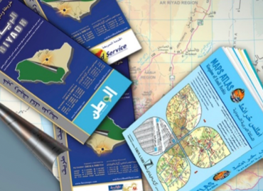
Atlas’s, Guides and
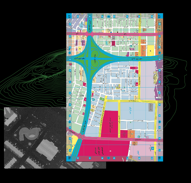
Map Dev since its inception, has produced a large number of indicative maps and atlases, whether as a private
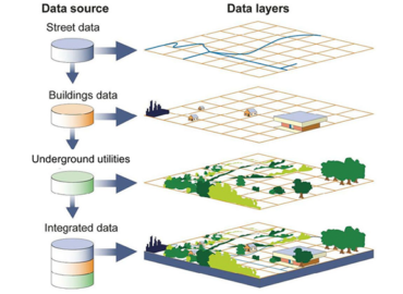
GIS Geographic Information
A geographic information system (GIS) is a computer system for capturing, storing, checking, and displaying data related to positions
Geo Database
Since 2012 MapDev has followed a new methodology to update the data by using high resolution satellite imagery to

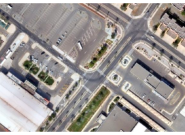
Aerial Survey
Topographical aerial survey work by using Drones according to the following specifications: Establishing and distributing ground control points Good
Remote Sensing
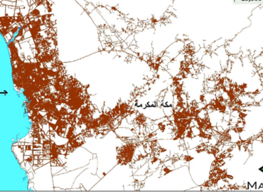
Extraction of information and data on the surface of the earth, water bodies, agricultural and variables on nature using