Our Services

Aerial Survey using Drone

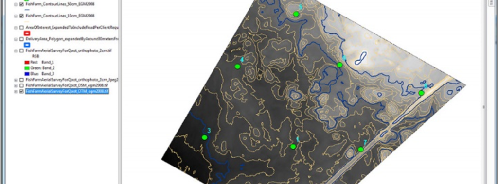
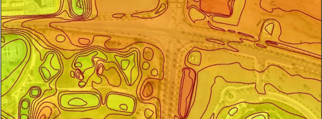
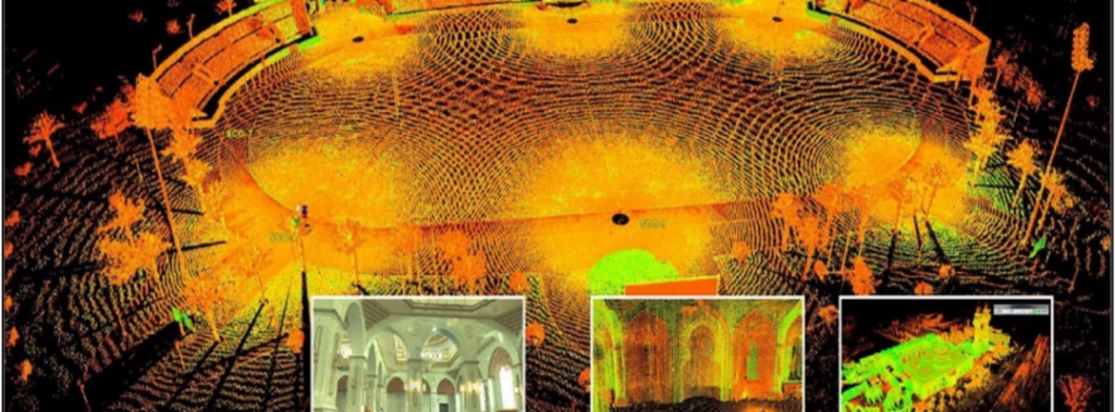
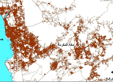
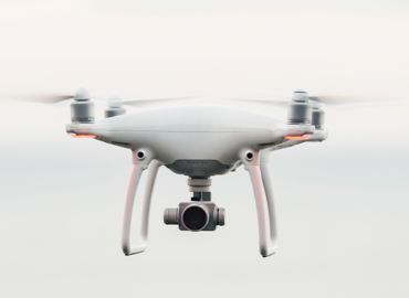
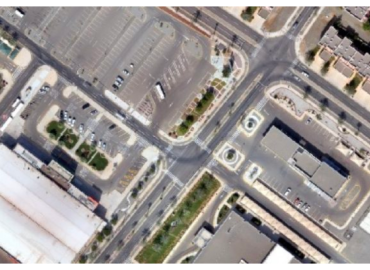
Topographical aerial survey work by using Drones according to the following specifications:

Establishing and distributing ground control points Good over the whole area.

Performing autonomous flight of the UAS carrying a high-quality, calibrated camera with sufficient overlap and side-lap overlap between the paths to perform the photographic processing.

Extract the following products

  • True Orth-rectified high-definition images.

  • point cloud

  • DSM digital surface model.

  • Digital Elevation Model DTM.

  • A contour map with a difference of 1 meter.

  • Aerial survey report.

High Resolution Color Aerial Photos

Digital Surface Model (DSM)

Digital Elevation Model (DTM)

Contour Map

Point Cloud

Map Dev Professional Services