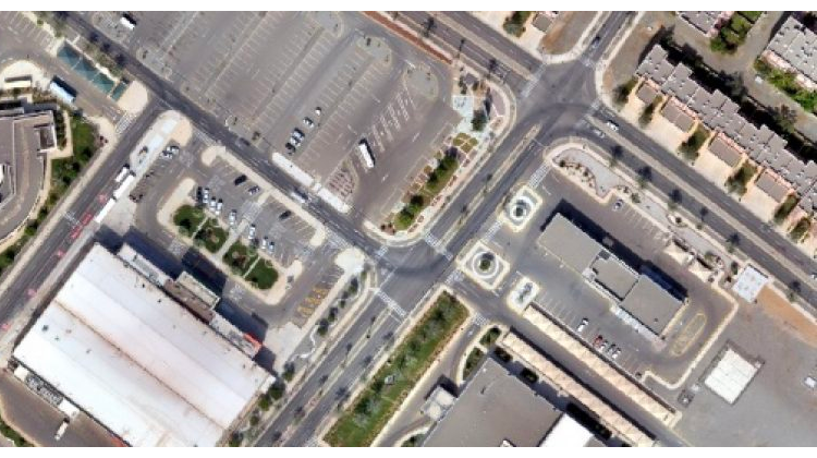
Extraction of information and data on the surface of the earth, water bodies, agricultural and variables on nature using a picture taken from the top and inferring the urgent variables on natural and abnormal phenomena, giving solutions and proposals about them and producing maps for them.

Unlock the Potential of GIS with MAP DEV

Pellentesque sem velit sagittis nec viverra vel fermentum sed sem. Praesent ac fringilla arcu dictum.

Founded in 1982, Map Dev pioneers in geospatial and mapping technologies in Saudi Arabia, providing comprehensive consultative, development, and executive services.

Our Services

Copyright 2024 © Map Dev | All rights reserved.