Topographical aerial survey work by using Drones according to the following specifications:
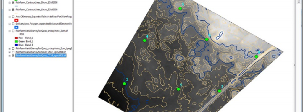
Establishing and distributing ground control points Good over the whole area.
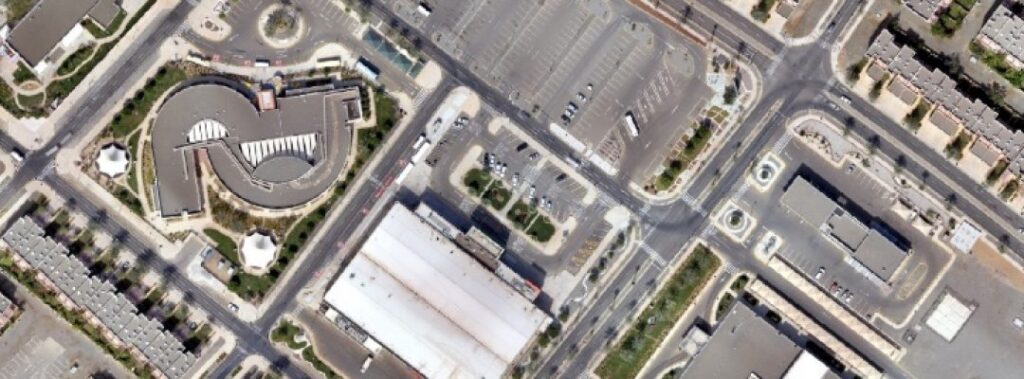
Performing autonomous flight of the UAS carrying a high-quality, calibrated camera with sufficient overlap and side-lap overlap between the paths to perform the photographic processing.
Founded in 1982, Map Dev pioneers in geospatial and mapping technologies in Saudi Arabia, providing comprehensive consultative, development, and executive services.