Folded Maps
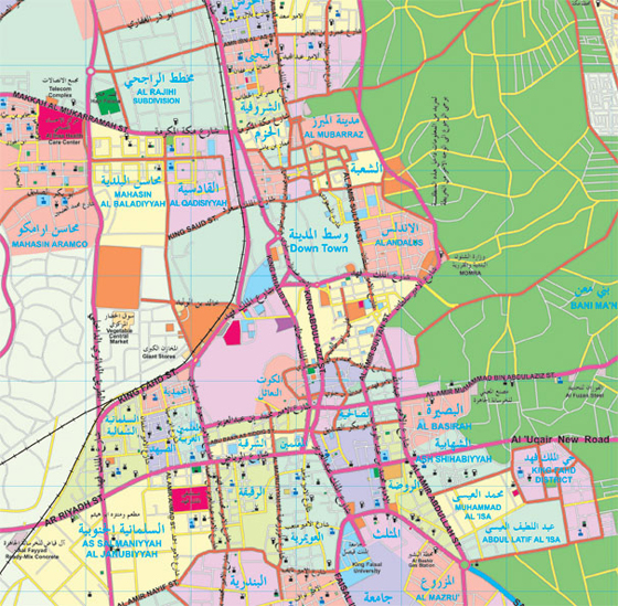
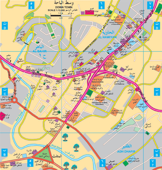
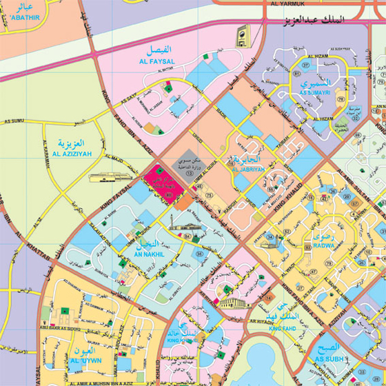
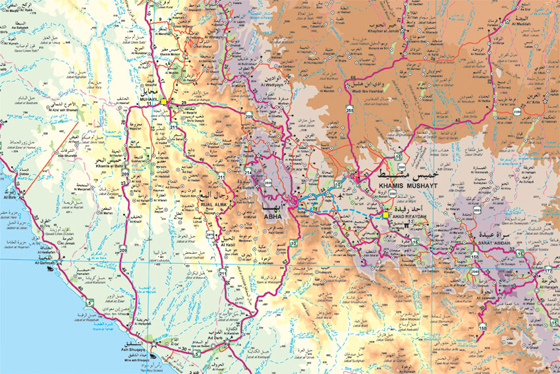
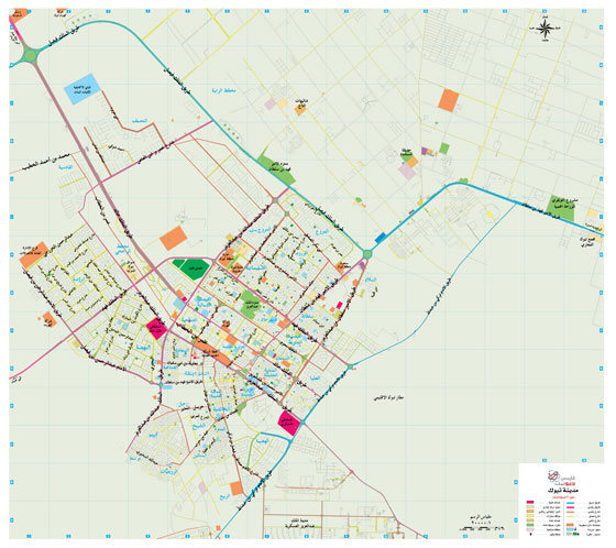
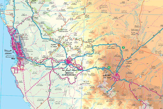
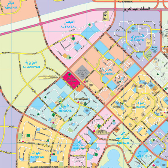
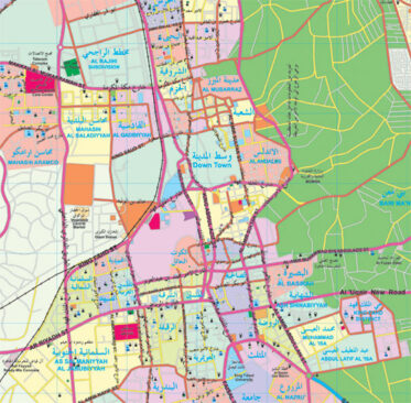
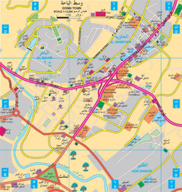
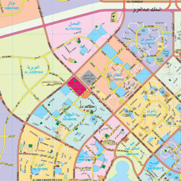
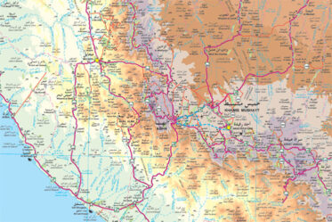
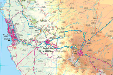
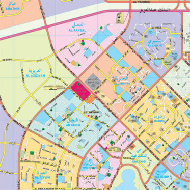
Map Dev are the first series of maps to be produced for the Kingdom of Saudi Arabia and its major cities. These maps show the road networks in the Kingdom and its major cities in different classifications and important public and private services indexes of street names in alphabetical order with a grid reference.
On the Kingdom's level, locations of cities and towns are displayed on the maps including the distances between main intersections.
- All
- Al Ahsa
- Al Baha
- Al Jawf
- Al Qassim
- Al Taif
- Asir
- Central Sector
- Eastern Region
- Hail
- Jazan
- Jeddah
- Jubail
- Kingdom of Saudi Arabia
- Madinah Munawwarah
- Makkah & Holy Places
- Najran
- Northern Sector
- Riyadh
- Southern Sector
- Tabuk
- Western Sector
- World Map
- Yanbu
