Folded Maps

Map Dev are the first series of maps to be produced for the Kingdom of Saudi Arabia and its major cities. These maps show the road networks in the Kingdom and its major cities in different classifications and important public and private services indexes of street names in alphabetical order with a grid reference.

On the Kingdom's level, locations of cities and towns are displayed on the maps including the distances between main intersections.

World Map

A folded map of the world showing political borders of different countries with enlarged insets of the European Continent & Kingdom of Saudi Arabia and the two Hemispheres (North and South Poles). It also includes an Index listing the names of world countries with their capitals.

Size : 100cm x 70cm

Scale : 1:70000

Price : SR. 28.75

Kingdom of Saudi Arabia Map

A folded map of Saudi Arabia containing a list of names and locations of cities and towns,the latest Road Network with a number assigned to each and distances between intersections in kilometers, It also includes a list of shortest roads linking the Kingdom main cities.The back of the map contains inset maps of the major cities & towns all over the Kingdom.

Size : 100cm x 70cm

Scale : 1:325000

Price : SR. 28.75

Al Ahsa Map

Printed on two sides; (Front) General side showing a map of Al Ahsa area, with a separate detailed index for streets and roads. This side contains also important historical sites, shopping centers/malls, gardens and parks, schools, medical services, mosque, etc..

Size : 100cm x 70cm

Scale : 1:30000

Price : SR. 28.75

Al Baha Map

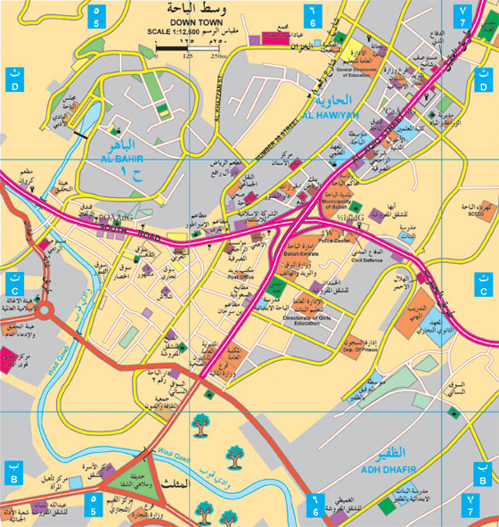
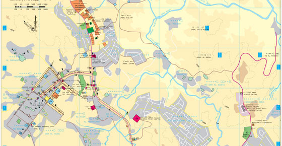
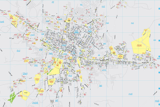
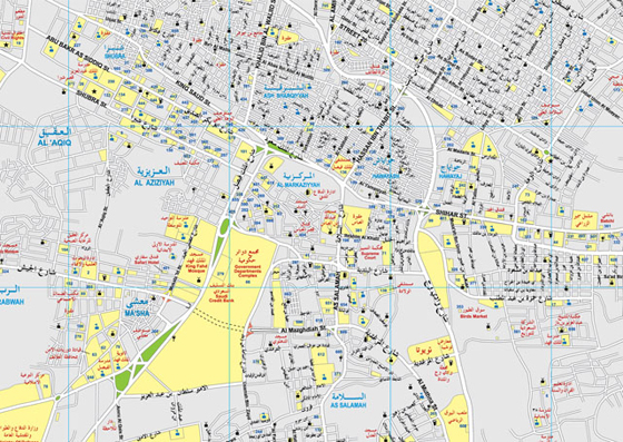
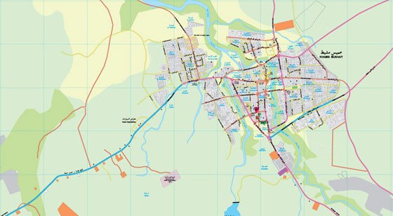
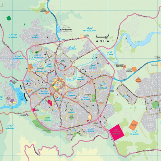
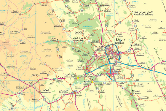
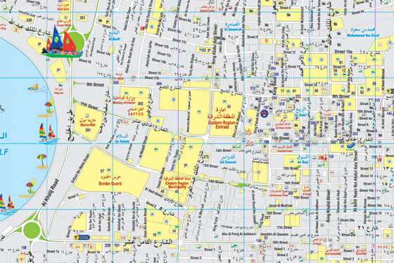
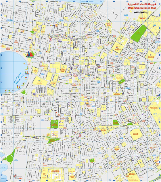
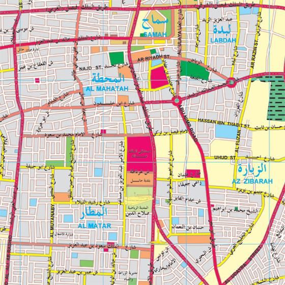
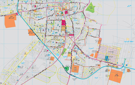
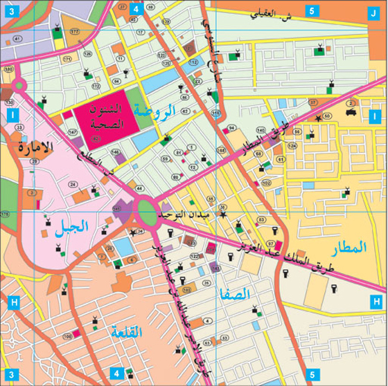
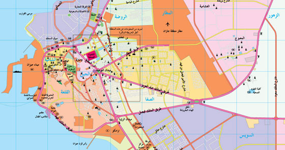
Printed on two sides; (Front) General side showing Baljurashi Province, Mikhwah, Qilwah, Aqiq, towns, administrative centers, provinces, according to classification of Ministry of Interior, Ministry of Municipalities and Rural Uffairs.. The map also shows differently classified roads, (double, single, arterial...etc.), distances in kilometers between cities and historical sites. (Back) Containing a detailed map for Baha, with detailed insets for the city of Baljurashi.

Size : 100cm x 70cm

Scale : 1:2200

Price : SR. 28.75

Al Jawf Map

Printed on two sides; (Front) General side showing an administrative map of Al Jouf Region, names of cities and towns, classification of Ministry of Interior, Ministry of Municipalities and Rural Affairs. administrative centers, distances, historical sites.

Size : 100cm x 70cm

Scale : 1:2200

Price : SR. 28.75

Al Qassim Map

Printed on two sides; (Front) General side showing a map of all Al Qassim Region with road network, classifications of different residential areas, administrative centers, historical sites...etc. (Back) Detailed side containing a separate map for each city.

Size : 100cm x 70cm

Scale : 1: 30000

Price : SR. 28.75

Al Taif Map

Printed on two sides; (Front) General side at 1:60,000 scale covering the districts of (Al Hada - Ash Shafa - Al Hawiya and Wadi Liya) containing a separate detailed inset map of Shafa and Hada area with an index of government services, hospitals, mosques,hotels, banks, etc..

Size : 100cm x 70cm

Scale : 1: 30000

Price : SR. 28.75

Asir Map

Printed on two sides; (Front) General side at 1:600,000 scale showing Asir Region with insets for Khamis Mushayt city, the gardens and parks of (As Sudah, Al Hadabah, Dalghan, Prince Sultan Park) it also contains an index of names and locations of provinces,and centers of Assir region and tourist areas.

Size : 100cm x 70cm

Scale : 1: 20000

Price : SR. 28.75

Central Sector Map

This sector covers the central area of the Kingdom, which includes Riyadh, Qassim & Hail areas, showing cities, towns, and villages of these areas. MOI and MOMRA classifications as well as natural features and road networks with distance in KM.between major intersections.

Size : 100cm x 70cm

Scale : 1: 70000

Price : SR. 28.75

Eastern Region Map

Folded map printed on two sides; (Front) General Map at Scale 1:50,000 containing a map of Dammam, Khobar and Dhahran cities, showing roads with their different classifications and main services,with a separate inset for Qatif city at a scale 1:12,500.

Size : 100cm x 70cm

Scale : 1: 70000

Price : SR. 28.75

Hail Map

Printed on two sides; (Front) General side showing a map of Hail region, with an inset of Hail city and the surrounded area. This side contains names and locations of cities and towns in the region with distances between some of the roads linking these places.

Size : 100cm x 70cm

Scale : 1: 24000

Price : SR. 28.75

Jazan Map

Printed on two sides; (Front) General side showing an administrative map of Jazan Region, names of cities and towns, classification of Ministry of Interior, Ministry of Municipalities and Rural Affairs. administrative centers, distances, historical sites banks, commercial, medical, educational, social...etc. Language: The map is available in a single Arabic version.

Size : 100cm x 70cm

Scale : 1: 50000

Price : SR. 28.75

Unlock the Potential of GIS with MAP DEV

Founded in 1982, Map Dev pioneers in geospatial and mapping technologies in Saudi Arabia, providing comprehensive consultative, development, and executive services.

Our Services

Copyright 2024 © Map Dev | All rights reserved.