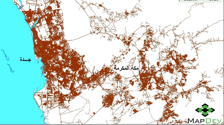
Since 2012 MapDev has followed a new methodology to update the data by using high resolution satellite imagery to capture the data and new efficient technology to collect the data from the field, which reflected on quantity and quality the geospatial data.